Explore the hiking trails of Sentier des Caps at your own pace. Enjoy a warm welcome and routes that wind through boreal forest and old-growth woods, offering exceptional viewpoints over Isle-aux-Coudres and the Montmagny archipelago. Whether you prefer a gentle walk in nature or a more challenging hike, the trails suit all levels and let you experience the full beauty of Charlevoix’s landscapes.
Coordonnées
Accueil de Charlevoix
61, chemin du Massif
Petite-Rivière-Saint-François (Québec)
418 435-4163
Accueil de St-Tite-des-Caps
2, rue Leclerc
Saint-Tite-des-Caps (Québec)
418 823-1117
1 866 823-1117

- All guests of the Massif de Charlevoix will have free access to the network of hiking and snowshoe trails located in the Sentier des Caps – Massif sector.
- Sentier des Caps de Charlevoix is not able to patrol its trails. All hikers accept full responsibility associated with hiking activities and must take the necessary measures to ensure their own safety.
- Hikers must ensure that the difficulty level of the chosen trail matches their physical abilities.
- Hikers must stay on marked trails and respect all signage.
- Dogs are allowed on the trails provided they are kept on a leash at all times.
Massif de Charlevoix sector
10.8 km total linear distance
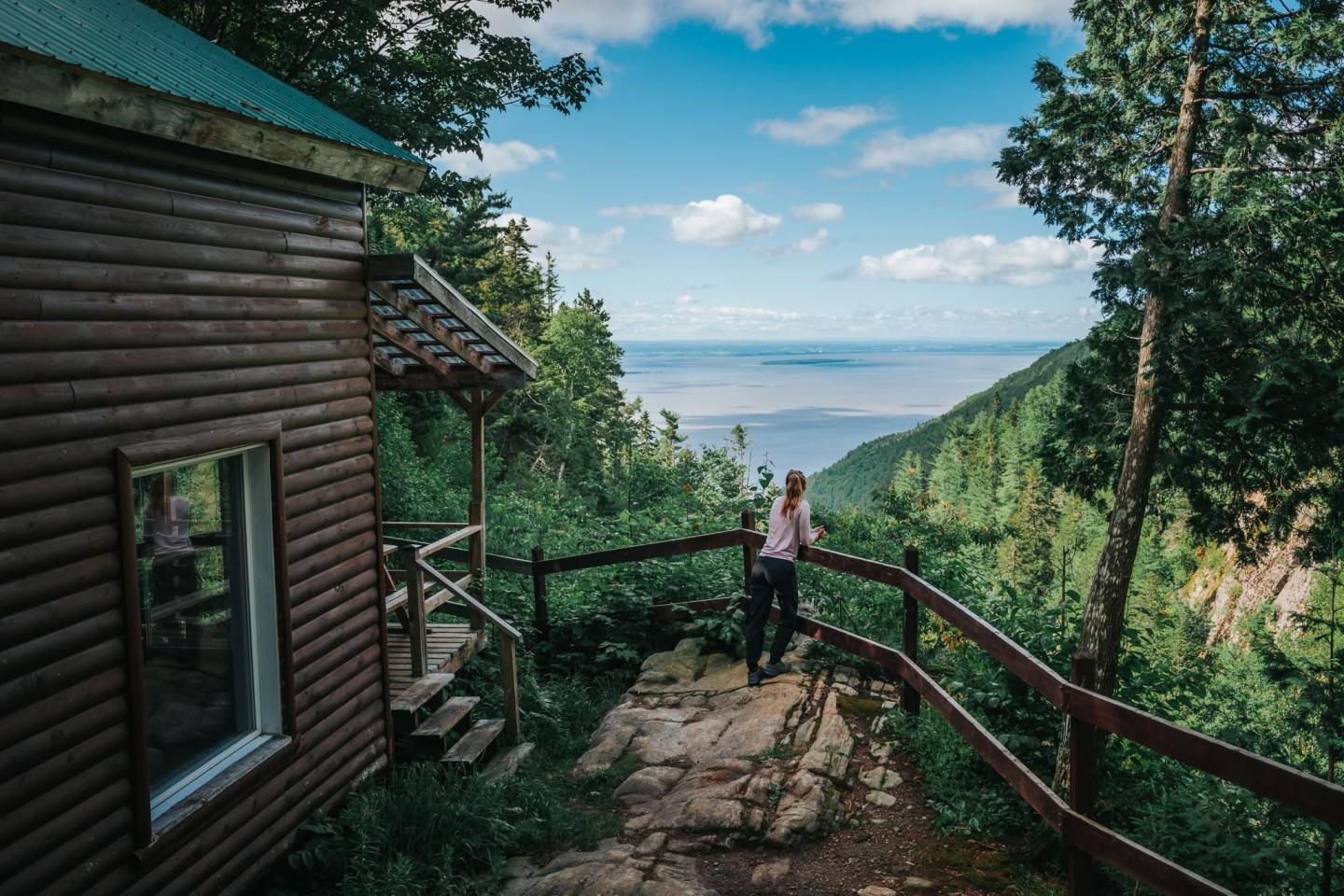
At the summit of the Massif de Charlevoix, several snowshoe trails are available. Two of them lead to shelters offering spectacular views of Île-aux-Coudres and the Saint Lawrence River, while a third heads toward a forest lake.
- Cap à l’Abattis — 10 km round trip (intermediate): cabin located at 5 km
- La Grande-Vue — 6.6 km round trip (intermediate): cabin at mid-point (3.3 km)
- Lac Gauthier — 5 km round trip (easy): cabin at 2.5 km
Secteur Saint-Tite-des-Caps
28 km total linear distance
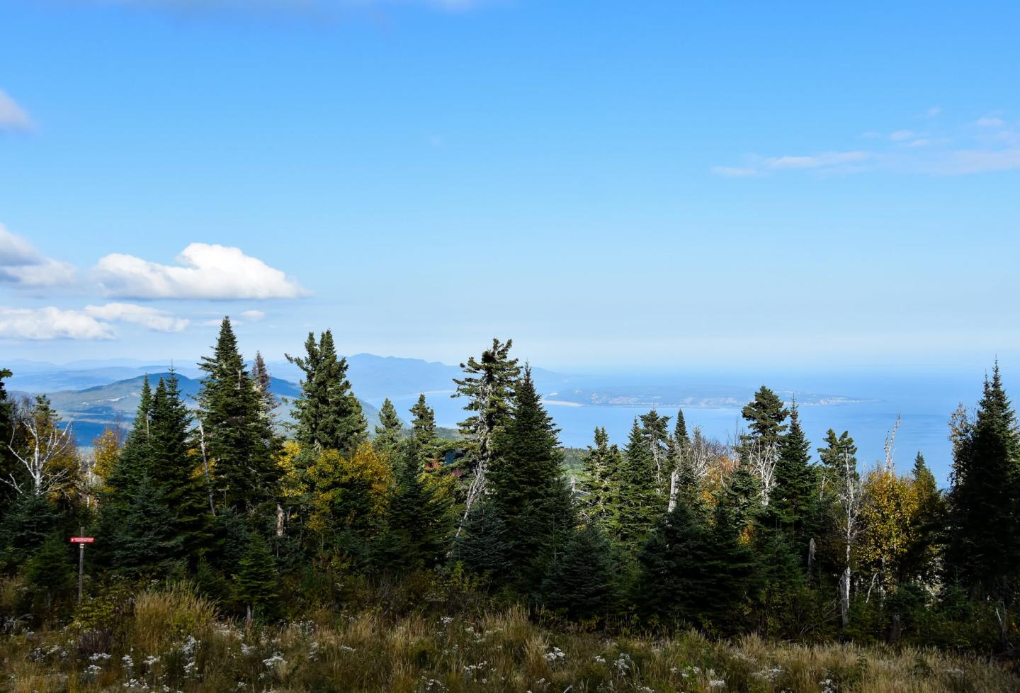
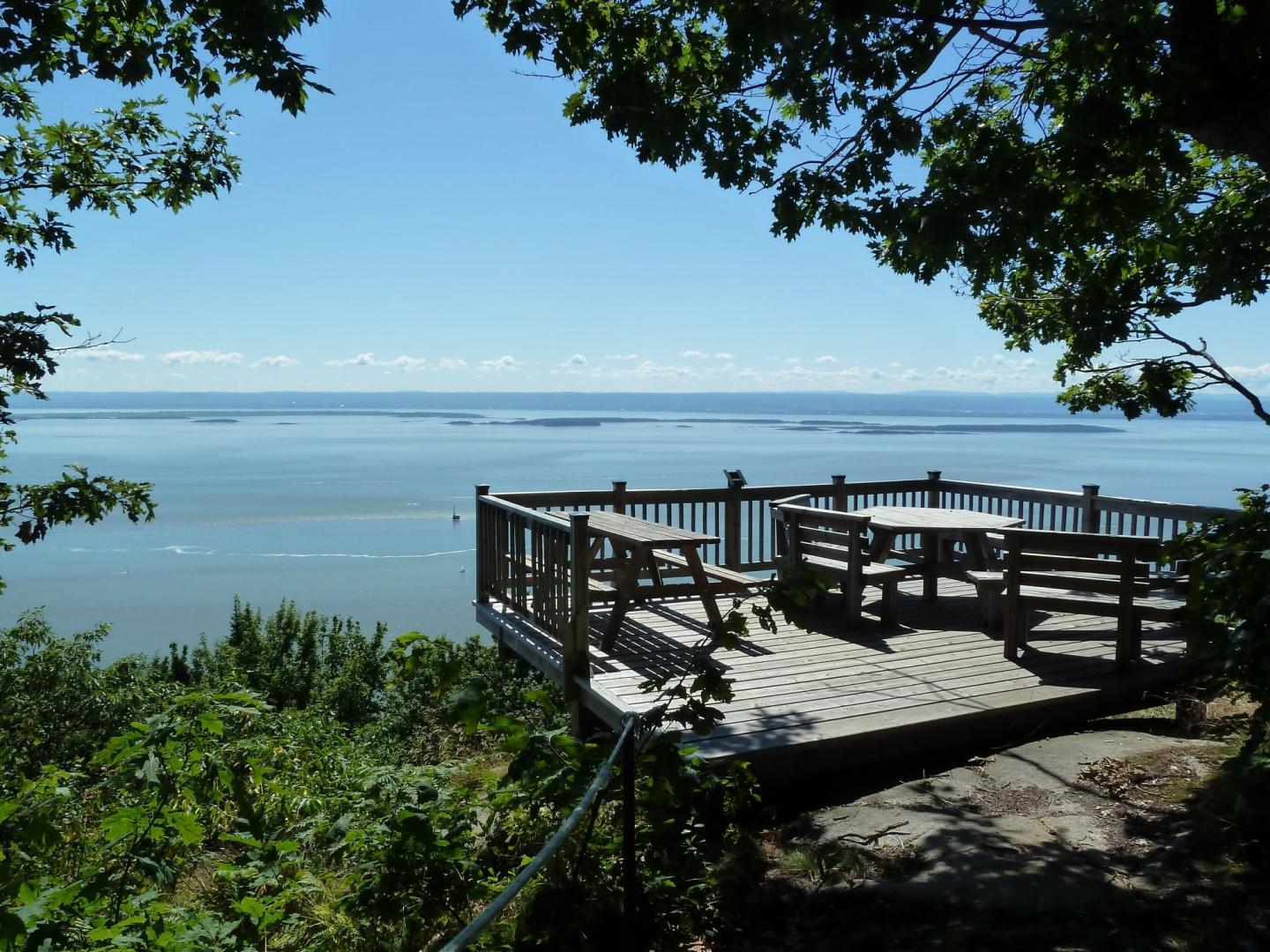
The Saint-Tite-des-Caps sector is a true hiking paradise. Each trail leads to viewpoints offering spectacular views of the Saint Lawrence River and the Montmagny archipelago.
Winding through an intimate and peaceful forest, the trails reveal unique panoramas of the 21 islands, between sky and river, for an unforgettable immersion in nature.
- La Faille (family-friendly) — 4 km round trip
- Le Cap Rouge — 7 km loop (5 must-see viewpoints)
- Le Cap Brûlé — 7.4 km round trip
- La Cime du Cap Tourmente — 11.4 km round trip
- Sentier Jalbert — 10 km
- Cap Gribane — 14 km
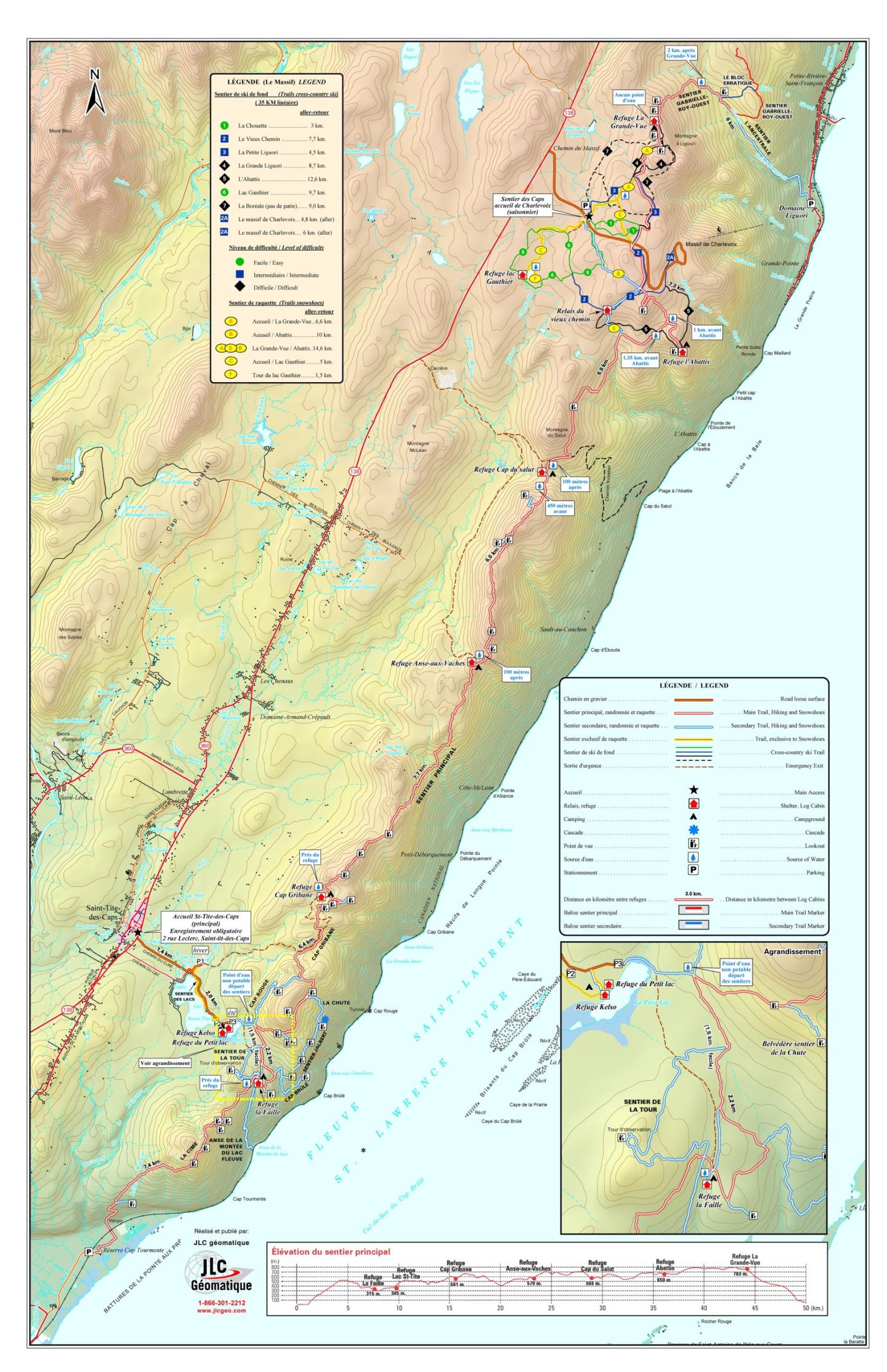
Trail Map