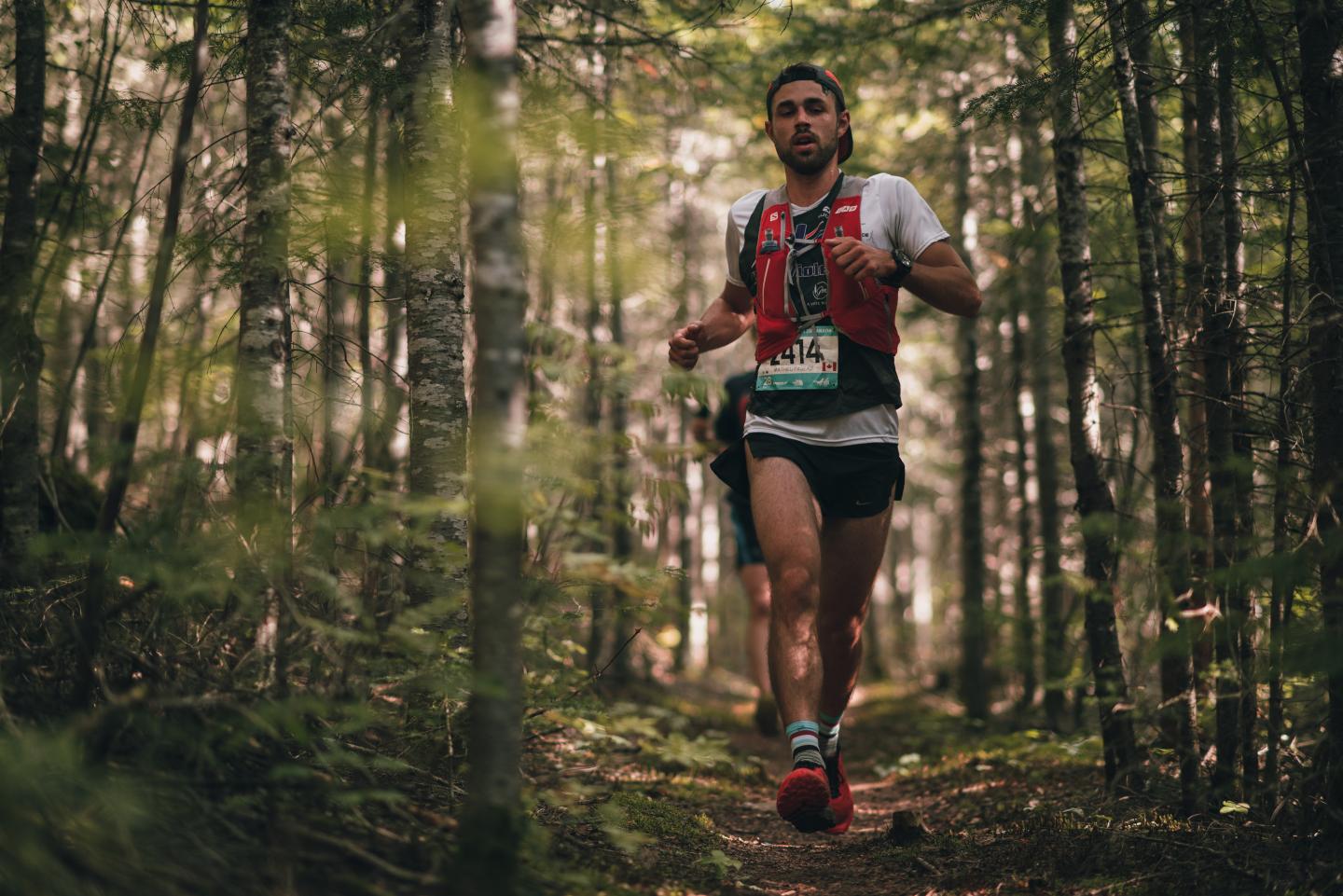
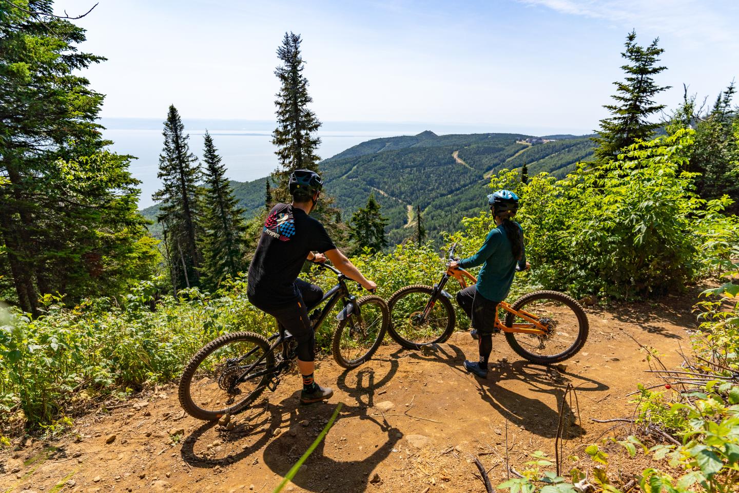
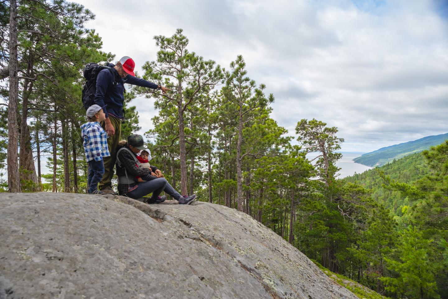
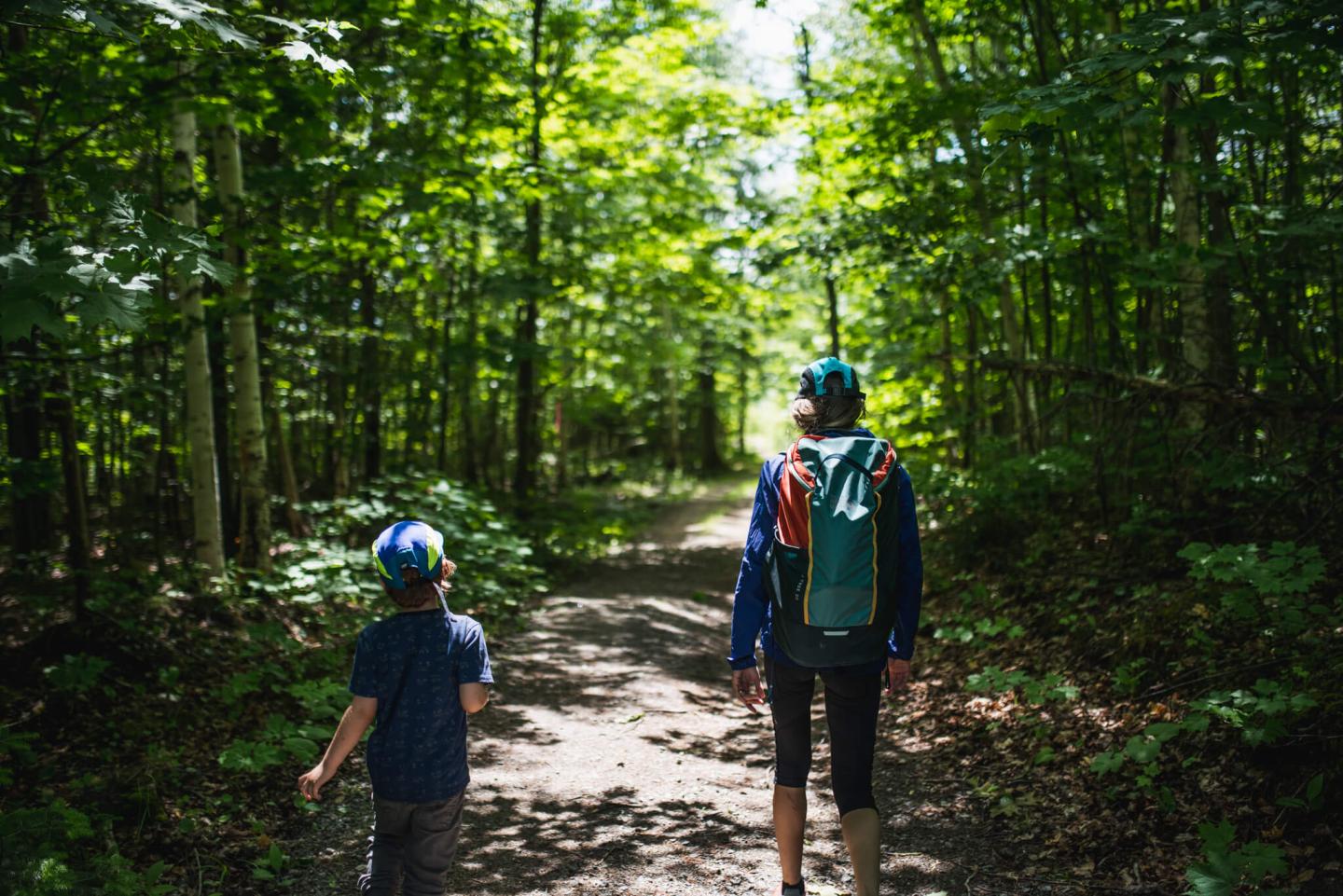
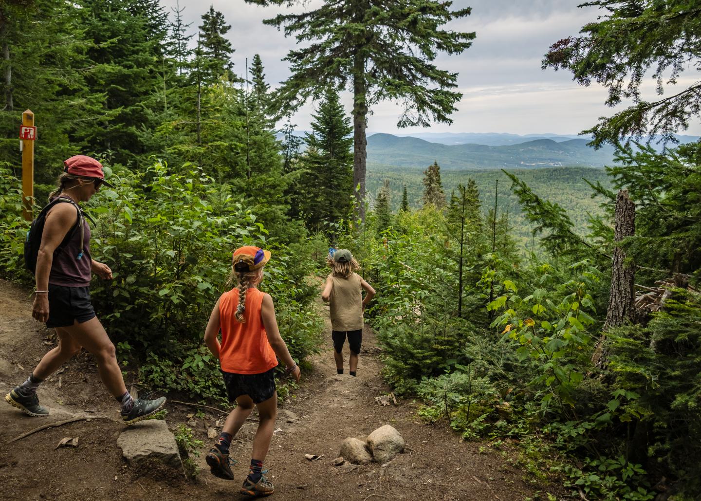
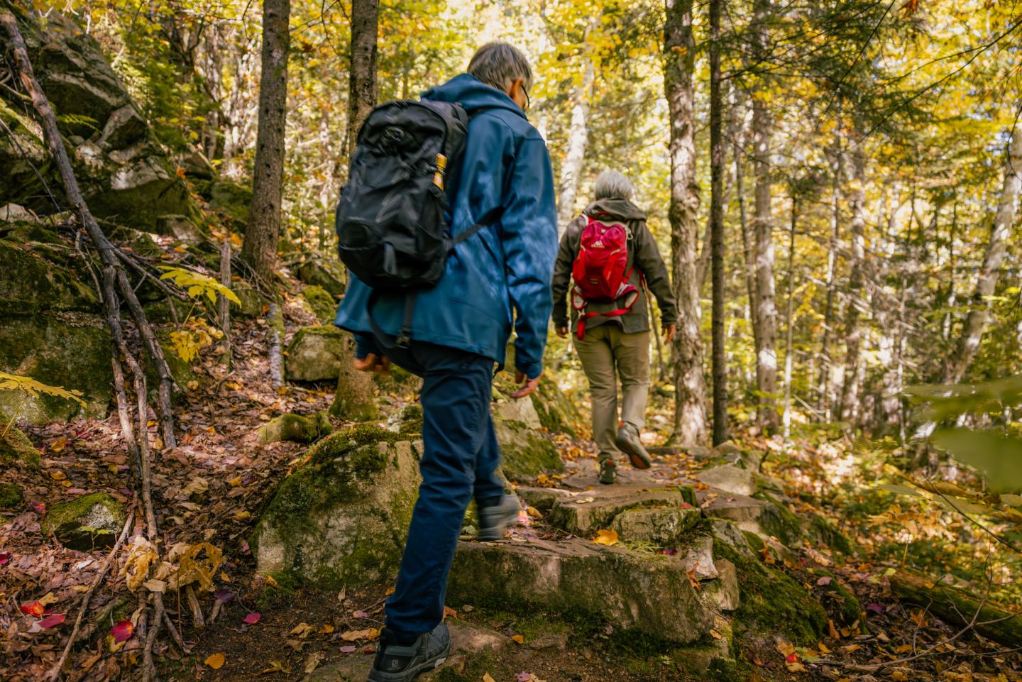
Explore our 20 km of picturesque hiking trails that offer stunning views of the St. Lawrence River, nestled in the heart of Charlevoix, Quebec. Trailheads are conveniently located at both the top and bottom of the mountain, offering options suitable for all levels and preferences. Best of all, our hiking trails are free to enjoy!
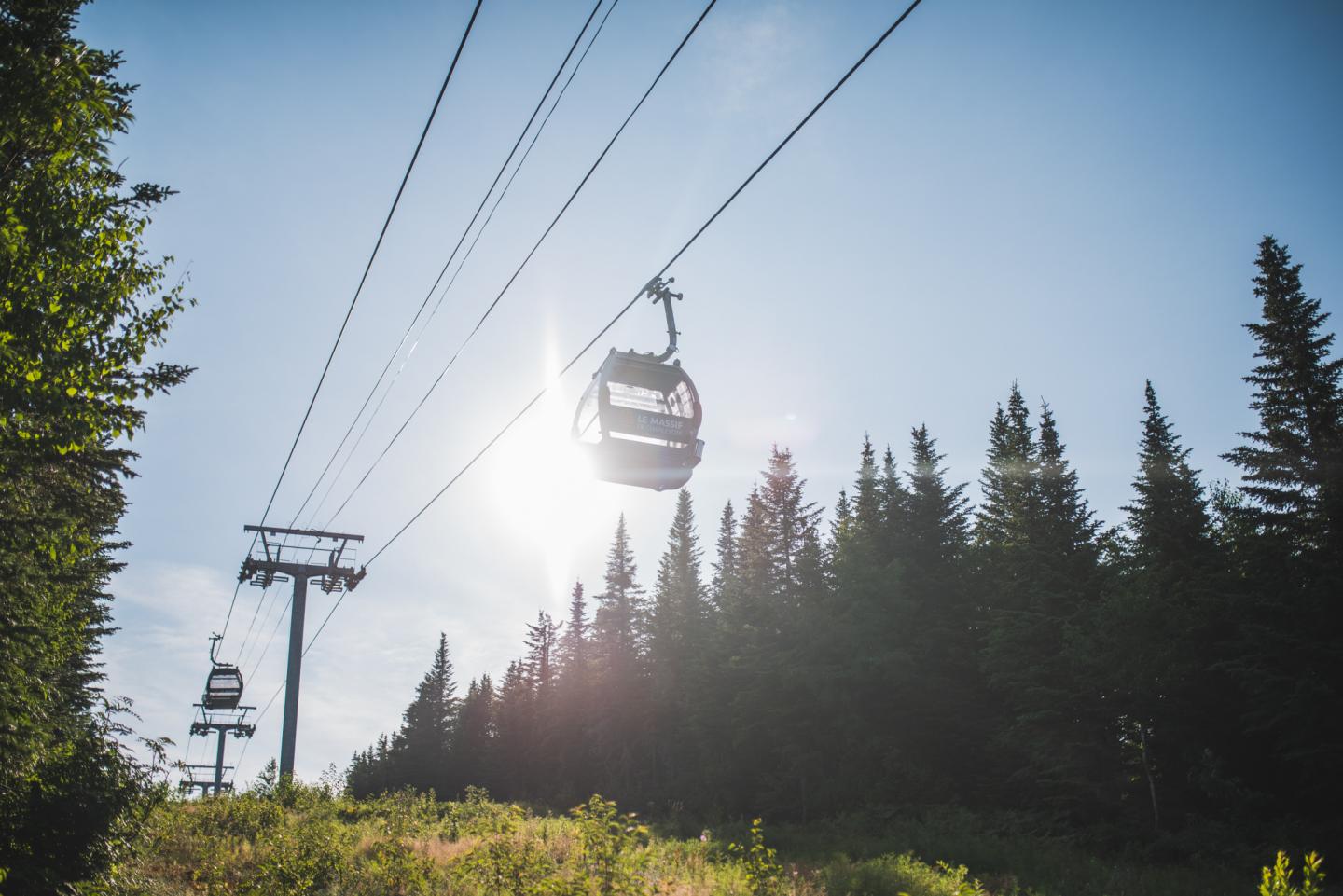
For an added dose of adventure, consider adding a gondola ride to your hike.
Hiking Trails
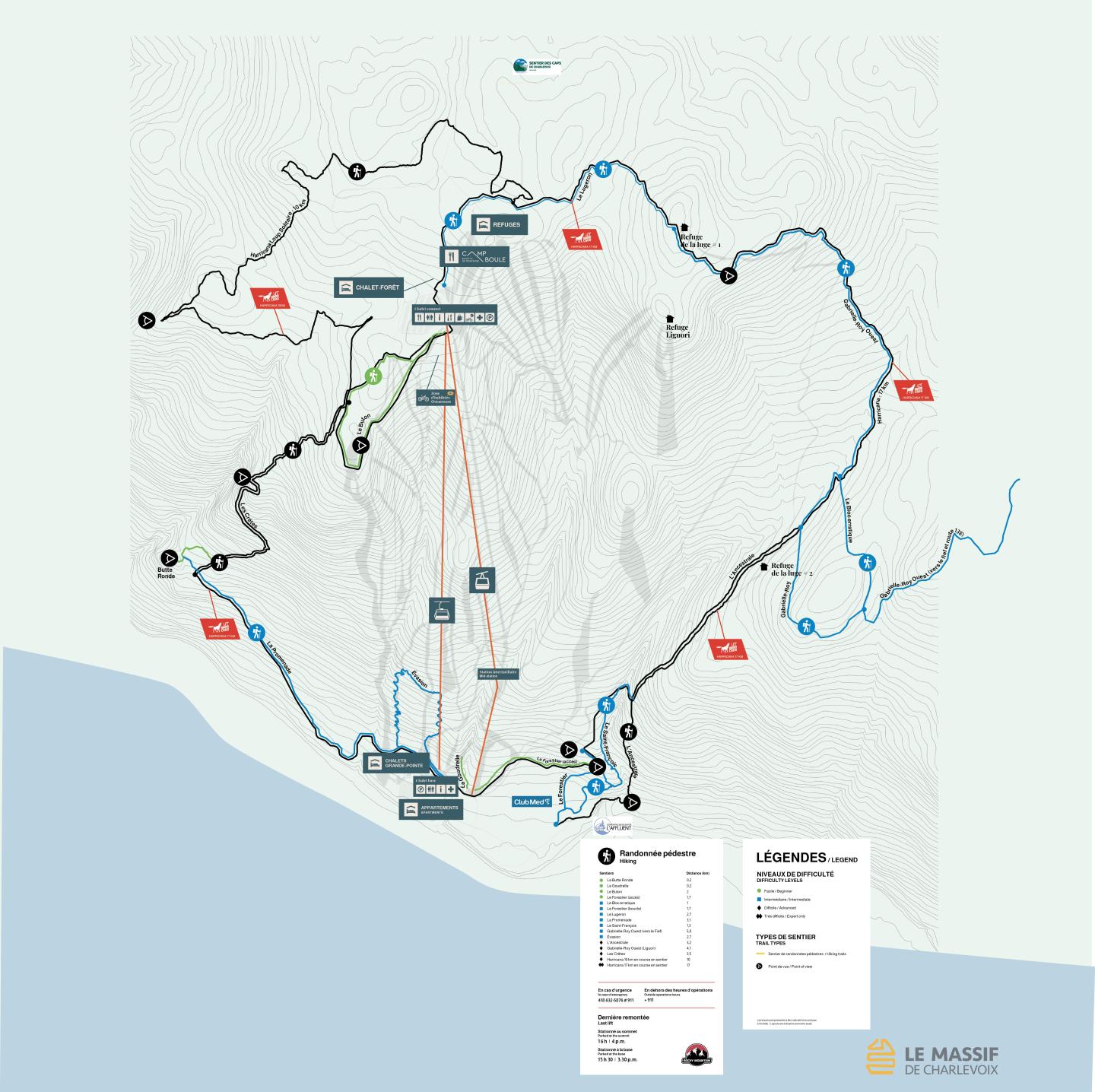
Hiking trails are now available on the On Piste application, allowing you to be guided in the mountain and to track and record your performance more accurately.
| Length | Duration* | Degree of difficulty | Cleared | Starting point | |
La Butte Ronde |
0.2 km Linear |
10 min |
Easy |
+15 m |
Base of the mountain At the end of La Promenade |
La Goudrelle |
0.2 km Linear |
10 min |
Easy |
+25 m |
Base of the mountain |
Le Buton |
2 km Loop |
45 min |
Easy |
± 60m |
Mountain summit |
Le Forestier (accès) |
0.7 km Linear |
15 min |
Easy |
+27m/-18m |
Base of the mountain Club Med school slope (Brise Glace) |
Le Bloc Erratique |
1 km Linear |
30 min |
Intermediate |
+65m/-24m |
Mountain summit or base Connexion par Gabrielle Roy |
Le Forestier (boucle) |
1.7 km Loop |
45 min |
Intermediate |
± 105m |
Base of the mountain |
Le Lugeron |
2.7 km Linear |
1 h 10 |
Intermediate |
+136m/-49m |
Mountain summit Sledging reception |
La Promenade |
3.1 km Linear |
1 h 20 |
Easy / Intermediate |
+225m/-70m |
Base of the mountain |
Le Saint-François |
1.3 km Linear |
1 h 10 |
Intermediate |
+210m/-35m |
Base of the mountain Connection by Le Forestier |
Gabrielle-Roy Ouest (vers Fief) |
5.8 km Linear |
2 h 50 |
Intermediate |
+270m/-226m |
Mountain summit or base Connexion Ancestrale ou Gabrielle Roy |
Evasion |
2.7 km Loop |
1 h 30 |
Intermediate |
+215m/-174m |
Base of the mountain |
L'Ancestrale |
3.2 km Linear |
2 h 30 |
Difficult |
+430m/-34m |
Base of the mountain |
Gabrielle-Roy Ouest (Liguori) |
4.1 km Linear |
2 h 45 |
Difficult |
+407m/-62m |
Mountain summit |
Les Crêtes |
3.5 km Linear |
2 h 45 |
Difficult |
+480m |
Mountain summit or base Connexion par La Promenade ou Le Button |
Loup Solitaire Harricana |
10 km Loop |
4 h 30 |
Difficult |
253 m |
Mountain summit |
Loup Solitaire Harricana |
17 km Loop |
8 h 30 |
Very difficult |
856 m |
Mountain summit |
*For linear hikes, the time indicated corresponds to the one-way trip. For loop hikes, the time indicated corresponds to the total time.
Gondola Ride Tickets
| Buy now | Round trip |
|---|---|
| 18+ years old |
$33 |
| 13 to 17 years old |
$24 |
| 7 to 12 years old |
$17 |
| 6 years and under |
Free |
The gondola ticket is valid for a single round trip made on the same day. You can disembark from the lift at the base or summit to enjoy hiking trails and take another lift later. The pricing for a one-way trip is the same as a round trip.
The last lift is at 4 p.m. for guests parked at the summit of the mountain and at 3:30 p.m. for guests parked at the base of the mountain.
Either of the two lifts will be in operation, depending on conditions.
Suggested hiking trails
La Butte Ronde: 200 meters
This trail gives access to magnificent views of the river. It runs through a mature ancestral pine forest.
-
Linear trail
-
Well-maintained
-
Trail accessible to all (requires intermediate trail to access)
-
Approximate duration: 10 minutes*
*The time indicated is for a one-way trip.
La Goudrelle: 200 meter
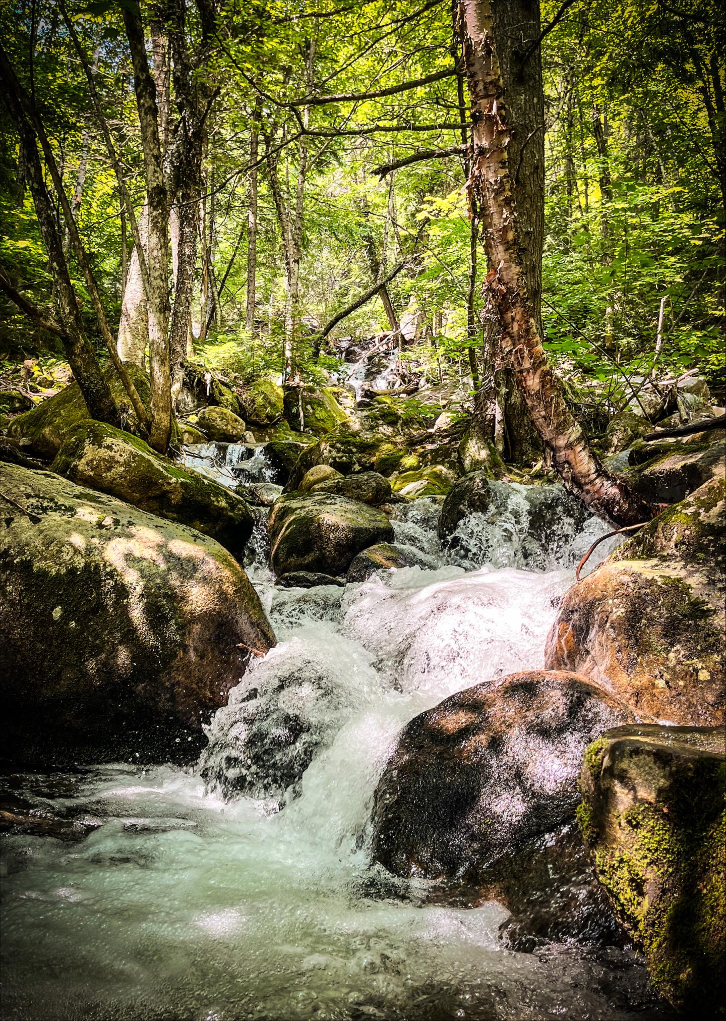
This trail is built on a natural terrain. It follows along the Grande-Pointe stream at the base of the mountain, nestled in the valley. Offering views of waterfalls, it is a true oasis of freshness where the scents of the forest converge. An ideal haven for meditation, contemplation, and connecting with nature, it is the perfect route for beginner hikers.
-
Loop trail
-
Well-maintained
-
Trail accessible to all
-
Approximate duration: between 10 minutes*
*The time indicated is for a one-way trip.
Le Buton : 2 km
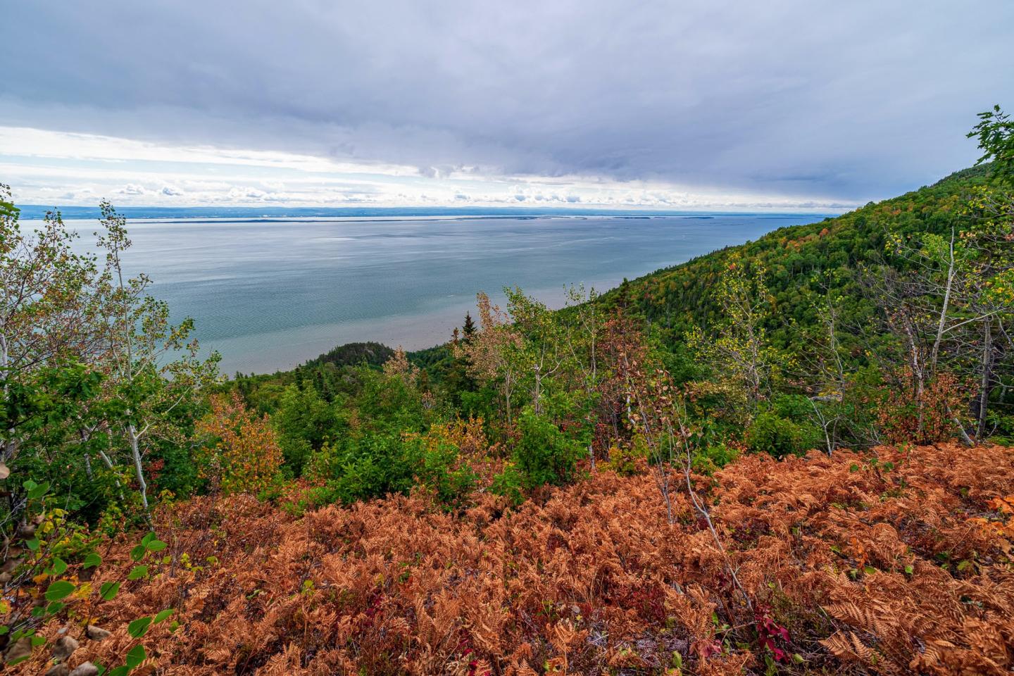
The Buton hiking trail will lead you to one of the most beautiful views in Charlevoix. This trail becomes the perfect hike or bike ride thanks to the belvedere at the top of the Buton. This emblematic and historic promontory of Le Massif de Charlevoix is a 30-metre rise, built in September 2001 with the soil dug out to create the snowmaking basin. This development aimed to become an Olympic standard downhill ski run. Today, this viewpoint offers an impressive and unique 360-degree panoramic view.
-
Loop trail
-
Well-maintained trail
-
Trail accessible to all
-
360-degree panoramic view
-
Scenic lookout
-
Approximate duration: 45 minutes
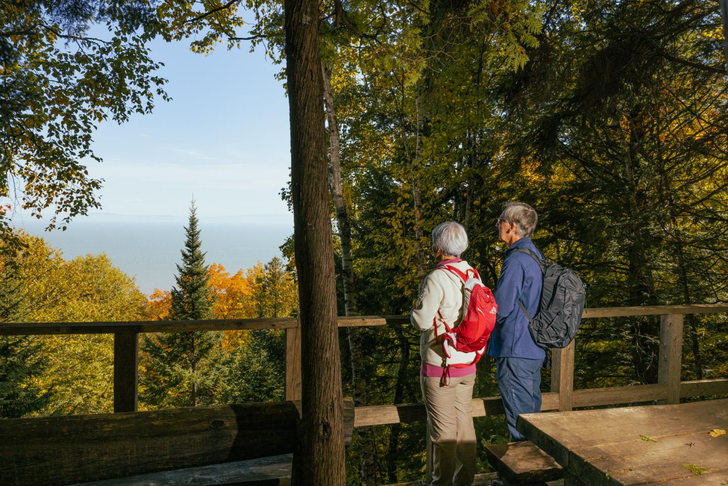
Le Forestier: 1.7 km
This trail with obstacles and wood/stone stairs offers few drops overall. It hits a maple grove and leads to two magnificent lookouts on the St. Lawrence River and Petite-Rivière-Saint-François. You will find a terrace, benches, and tables. From the chalet at the base the mountain, after crossing the footbridge, the trail is accessible from the west side of the gondola (at the bottom of the sled run).
-
Loop trail
-
Well-maintained
-
Trail accessible to all
-
Terrace, benches and tables.
-
Approximate duration: 45 min*
*The time indicated is for a one-way trip.
Le Lugeron: 3.5 km
This trail has no major obstacles. It ends at the Luge Refuge 1 and meets with the Gabrielle-Roy Ouest trail. From there you can access the Refuge Liguori. Refuge 1 offers a breathtaking view of the St. Lawrence River and the Isle-aux-Coudres. It is the perfect place to take a break or enjoy a delicious picnic. You can access this trail at the top of the mountain, behind the snow school.
-
Linear trail
-
Well-maintained trail
-
Intermediate trail
-
Approximate duration: 1 h 10*
*The time indicated is for a one-way trip.
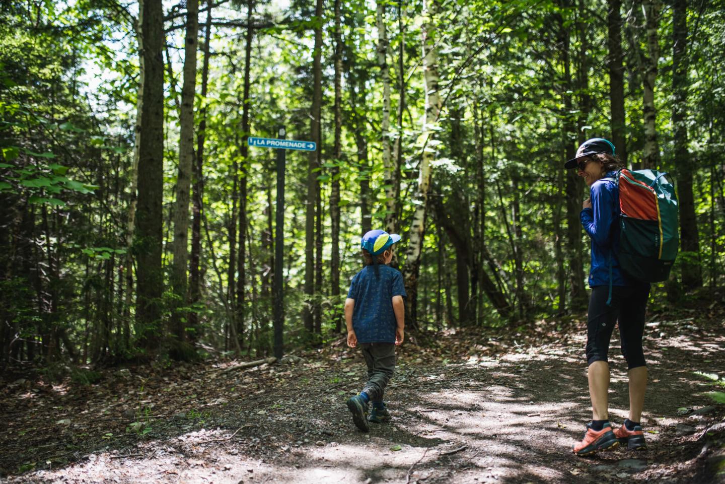
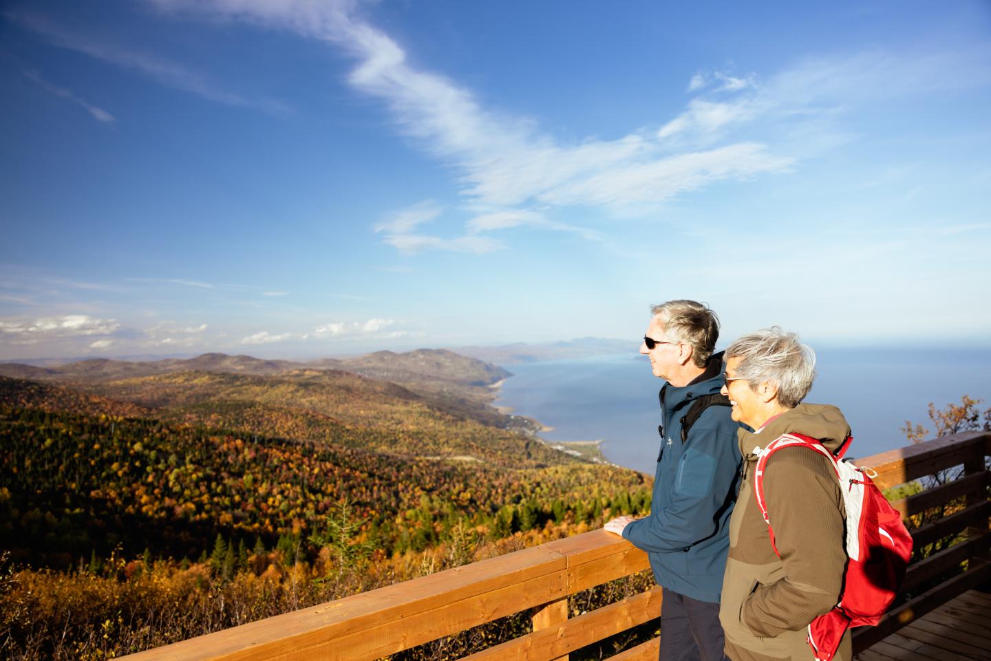
La Promenade: 3.1 km
This trail is set on dirt and has no obstacles. It leads to the viewpoint at the Petite Butte Ronde at an altitude of 258 metres. There, you will discover an exceptional view of the St. Lawrence River and the mountain’s unique forest ecosystem. This trail allows you to take the Des Crètes trail and reach the top of the mountain. You can access this trail at the base of the mountain or from the bottom of the L'Anguille trail.
-
Linear trail
-
Well-maintained trail
-
Ideal for casual hikers
-
Approximate duration: 1 h 20*
*The time indicated is for a one-way trip.
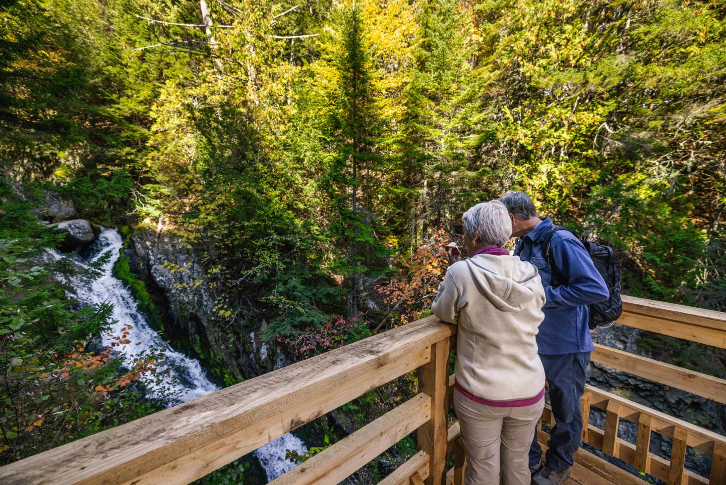
Le Saint-François: 1.3 km
This trail features a significant elevation gain over a short distance. It follows the Saint-François River and its multiple water basins, leading to the bridge used for sledding in winter to access the L'Ancestrale trail on the other side. It can be accessed via the Le Forestier trail.
-
Linear trail
-
Well-maintained trail
-
Ideal for casual hikers
-
Overlook
-
Elevation: - +218 m – 55m
-
Approximate duration: 1 h 10*
*The time indicated is for a one-way trip.
Gabrielle-Roy Ouest: 11.7 km
This natural and narrow trail links Le Lugeron at the summit to L'Ancestrale at the base. It features beautiful viewpoints, numerous wooden footbridges, an erratic block, and traverses a magnificent forest with iconic trees of Quebec. This trail is named after Gabrielle Roy, a French-Canadian author from Manitoba. The landscapes and waterways of our region, which she considered her favourite place, served as her inspiration.
-
Linear trail
-
Well-maintained
-
Trail for experienced hikers
-
Elevation: +370m – 689 m
-
Approximate duration: 2 h 50 min*
*The time indicated is for a one-way trip.
L'Ancestrale: 3.2 km
This steep trail, set according to the slopes, is dotted with gateways, bridges, and stairs attached to the rocky cliffs. It leads to the first source of electricity that powered a few houses in the village of Petite-Rivière-Saint-François in 1926 and allows hikers to access the Gabrielle-Roy Ouest trail to complete a large loop.
-
Linear trail
-
Well-maintained trail
-
Trail for experienced hikers
-
Gateways, bridges, and stairs attached to the rocky cliffs
-
Elevation: +404m – 27 m
-
Approximate duration: 2 h 30*
*The time indicated is for a one-way trip.
Des Crêtes: 3.1 km
This is a narrow path with obstacles and a large drop that offers magnificent views of the St. Lawrence River and the Petite Butte Ronde. You can access the Des Crètes trail at the top of the mountain, near the Maillard chairlift, or at the base of the mountain from the La Promenade trail.
-
Linear trail
-
Semi-groomed trail
-
Trail for experienced hikers
-
Approximate duration: 2 h 45 min*
*The time indicated is for a one-way trip.
Enhance your mountain adventures with the Tourisme Charlevoix hiking trails guide.